Thunderstorm Watch For Seacoast Until 11 p.m.
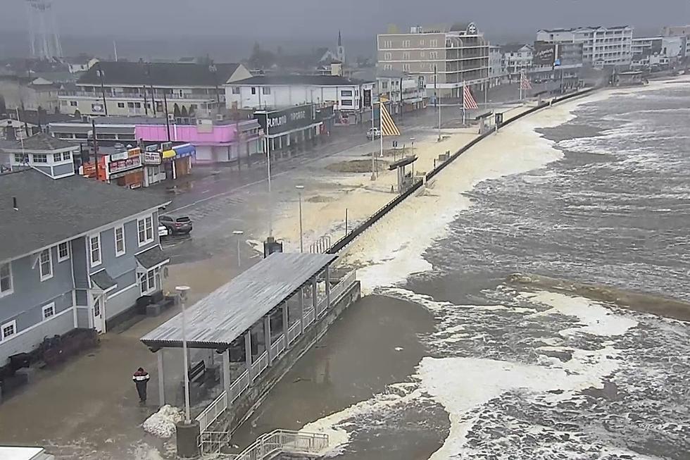
The Seacoast's taste of summer will come to an end Wednesday night - potentially with a bang - as a line of thunderstorms heads across the area with a cold front.
Temperatures got into the upper 80s and lower 90s under partly sunny skies, creating ideal conditions for thunderstorms. A Thunderstorm Watch is in effect until 11 p.m. for New Hampshire, southern Maine and northern Massachusetts, which could bring quarter size hail, scattered wind gusts of 70 miles per hour and frequent lightning.
"We're expecting between 3 p.m. and 9 p.m. the storms tracking across New Hampshire and Maine which could knock some trees down and cause power outages," National Weather Service Meteorologist Derek Schroeter told Seacoast Current.
The watch could become a warning if stronger cells develop as the front moves closer to the Seacoast, according to Schroeter.
Behind the cold front is cooler air for the Memorial Day weekend with temperatures in the 60s.
There could be some rain on Friday.
Partly to mostly cloudy skies are expected for Saturday, Sunday and Monday.
Contact reporter Dan Alexander at Dan.Alexander@townsquaremedia.com or via Twitter @DanAlexanderNH
LIST: The 100 Highest-Paying Jobs in Portsmouth, New Hampshire
More From Seacoast Current