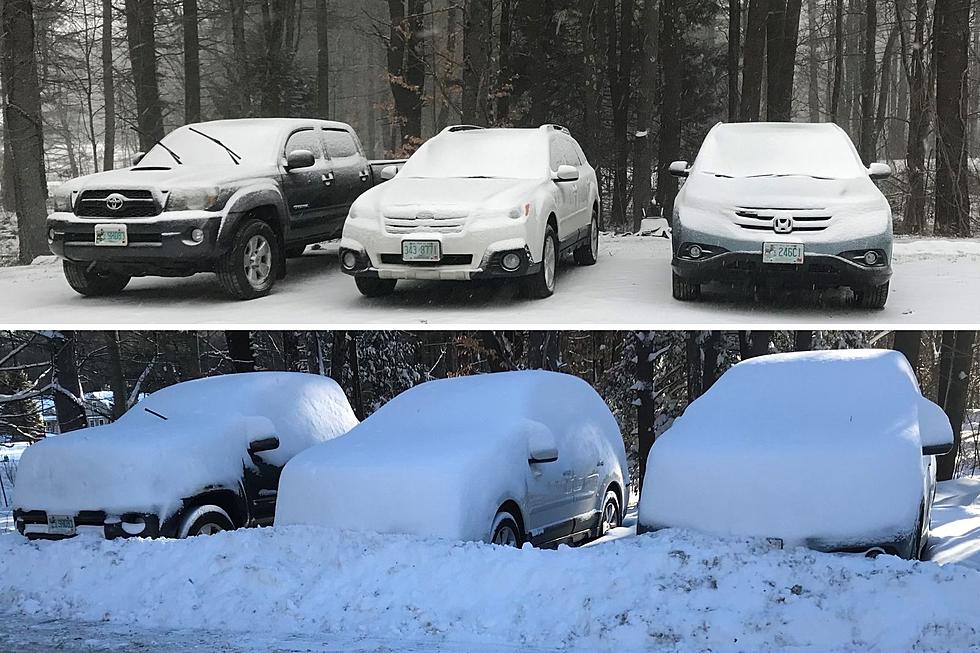
Friday Winter Storm — More Sleet Than Snow on the Seacoast
Less than 24 hours before the next winter storm, there is much uncertainty about how much snow the Seacoast will get.
It's not the snow but rather a prolonged period of sleet that could cause issues on the roads Friday for much of the Seacoast. Inland areas of the Seacoast are under a Winter Storm Warning for a potential 3-7 inches of snow.
The expected snow accumulation for the immediate Seacoast is 1-3 inches of a mixed precipitation before it later turns to all snow.
The question is how far south the front will get before stalling out along the Massachusetts/New Hampshire border, according to meteorologist Derek Schroeter at the National Weather Service in Gray, Maine.
"If that cold front can push all the way through southern New Hampshire through tomorrow morning, then we would expect more snow across the Seacoast," Schroeter told Seacoast Current on Thursday morning.
However, it was looking more like the front was going to move slowly between midnight and 8 a.m., which would keep the precipitation as rain that would gradually become freezing rain and sleet during the daytime hours.
"All indications are that the Seacoast may see a rather significant sleet accumulation on order of an inch," Schroeter said.
Driving On Sleet
Shroeter said sleet that hits bare pavement can feel like one is driving on ball bearings.
"Our main concern is that the cold air is moving in. We're going to have heavy precipitation rates. Could be rain, sleet, and snow during the commute on Friday morning. Accumulating sleet on the roads and some snow and slush can kind of grab your wheels."
Sleet begins its descent through the sky as simple snowflakes. Then, upon encountering a layer of warm (above-freezing) air, it melts into a water droplet. As it exits the warm layer into cold air, it then refreezes but not as a nice, fluffy, crystalline snowflake.
It instead becomes a solid ice pellet, which we call sleet. Sleet does not accumulate as efficiently as snow, and is way more slippery.
Townsquare New Jersey Meteorologist Dan Zarrow contributed to this report
Contact reporter Dan Alexander at Dan.Alexander@townsquaremedia.com or via Twitter @DanAlexanderNH
Trending Stories for Seacoast Current (January 24-30, 2022)
Gallery Credit: Megan Murphy
More From Seacoast Current


