Thunderstorms Bring Seacoast Heat Wave to an End
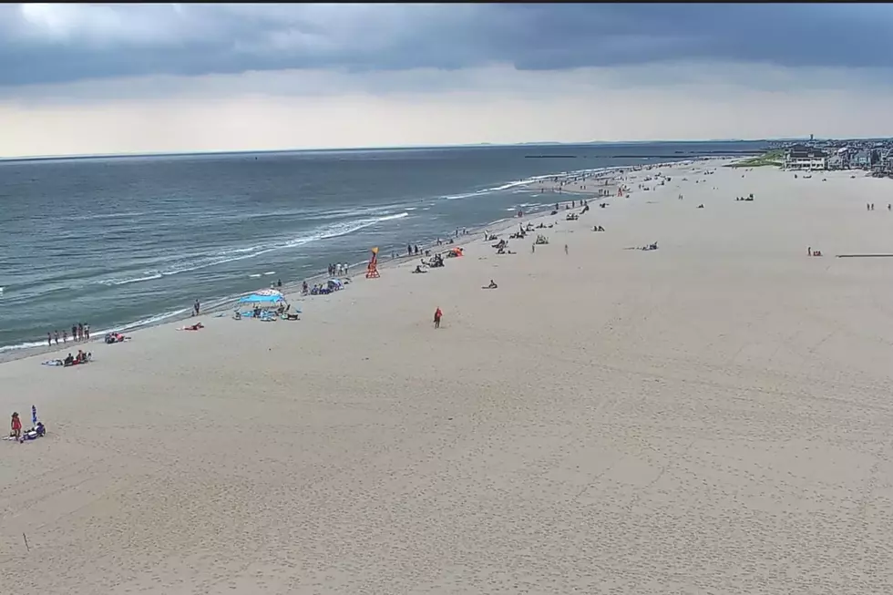
Thunderstorms ahead of a cold front will bring the Seacoast's six day heat wave to an end, although temperatures will remain a bit higher than usual.
A first wave of rare morning thunderstorms on Monday moved mostly from southwest to northeast over interior areas, but some did move across the Seacoast region according to meteorologist Justin Arnott at the National Weather Service office in Gray, Maine.
Once the storms pass, temperatures will rise again in the afternoon close to 90 with high humidity bringing the heat index to 96.
Another round of thunderstorms will develop on Monday afternoon and approach the Seacoast from the northwest. A Severe Thunderstorm Watch is in effect for all of New Hampshire, Maine, and Massachusetts until 8 p.m.
"As is typical of thunderstorms on a line like that you may get hit, you may get missed. But if you get hit they could be severe, so we're watching for that potential as well," Arnott said.
The humidity will noticeably drop once the front passes, but temperatures will remain in the low to mid 80s, which is a little warmer than usual for late July.
"By the time we get to Tuesday night, temperatures may fall into the upper 50s and lower 60s which will be a significant relief to what we've dealt with the past couple of days," Arnott said.
Arnott said that the heat wave in the Seacoast region started on July 19 when the temperature hit 90 for the first day in Rochester according to National Weather Service reports. The highest temperature was 99 in Rochester on Sunday, and 97 in Portsmouth.
What About the Drought?
Most of the state of New Hampshire and southern Maine are considered to be in a moderate drought by the U.S. Drought Monitor. The New Hampshire border, Essex County, and northern Massachusetts are in a severe drought.
A heavy downpour from a thunderstorm won't help the drought very much, as they tend to be more localized. It would cause flooding instead, because the ground can't quickly absorb that much water.
A widespread long duration of soaking rain would be the best, but that doesn't seem to be in the forecast through the weekend. There's only a slight chance of showers on Thursday and Friday.
The 8-14 day precipitation outlook from the Climate Prediction Center shows most of New England with near normal precipitation and above normal temperatures.
Contact reporter Dan Alexander at Dan.Alexander@townsquaremedia.com or via Twitter @DanAlexanderNH
These Are 20 of the Best Places in New Hampshire to Cure a Hangover
More From Seacoast Current


