Thursday’s Storm Brings Snow, Sleet, Freezing Rain to Seacoast
❄ Snow overspreads the Seacoast region late Wednesday night, and could be heavy at times
❄ Thursday morning's commute will be slippery, with snow mixing with sleet and freezing rain
❄ Parking bans are going into effect for Wednesday and Thursday
The Seacoast is in for a prolonged period of wintery mix starting Wednesday night lasting until Friday.
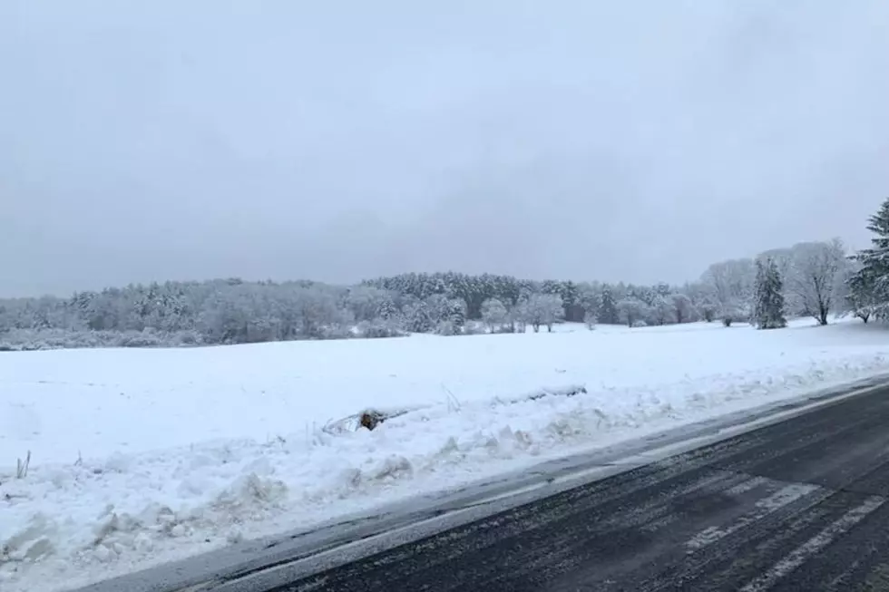
Snow will overspread the area from west to east late Wednesday night, and could be heavy at times. As the storm lifts to the north, the precipitation will mix with sleet and freezing rain, according to Meteorologist Sarah Thunberg at the National Weather Service in Gray, Maine.
"It's just going to be pushing further and further north. By Thursday afternoon, the Seacoast will be seeing some amount of freezing rain and rain," Thunberg said.
In addition to 2-6 inches of snow across the entire Seacoast from the storm by Thursday night, there could be a quarter inch of icing, according to Thunberg. The further inland you are, the slower the mix occurs and the higher the accumulation. Temperatures will be in the lower 30s close to the coastline and the upper 20s inland.
"There's a very real possibility that the roads are going to be slippery and icy and potentially dangerous or hazardous on Thursday," Thunberg said.
A Winter Weather Advisory is in effect for the entire Seacoast area including Essex County in Massachusetts and York County in Maine starting at 7 p.m. Wednesday night through 7 p.m. Thursday night.
The prolonged period of icing could bring down some trees and branches.
“With a messy storm like the one forecasted, what we monitor closely is the type of precipitation that falls and the consistency of any snow,” Unitil Media Relations Manager Alec O’Meara said. “Sleet and normal-to dry snow tend not to stick to surfaces, while freezing rain and wet, heavy snow can damage trees and tree branches, which can cause outages.”

Thunberg said there will be a bit of a lull in the precipitation Thursday night. Temperatures will actually rise after midnight early Friday morning, meaning the precipitation will redevelop as rain along the coast.
As a low pressure moves to the east of New England, everyone will get snow before the storm ends early Friday afternoon.
Parking bans in effect
Dover:
A parking ban takes effect at 10 p.m. Wednesday until Thursday at 6 a.m. and 1 a.m. - 6 a.m. in the downtown area. The ban
While in effect, parking is prohibited on:
City streets, sidewalks or adjacent public parking areas.
Third Street and Belknap parking lots, and the Orchard Street lot's public parking spaces.
Contact reporter Dan Alexander at Dan.Alexander@townsquaremedia.com or via Twitter @DanAlexanderNH
Feast at These 20 Guilty Pleasure New Hampshire Restaurants
Gallery Credit: Megan
More From Seacoast Current