Where’s the Seacoast’s Winter Weather? It’s Coming
The days after Halloween is usually when the colder weather takes hold, ski areas start making snow, and thoughts turn to when the first snow might fall.
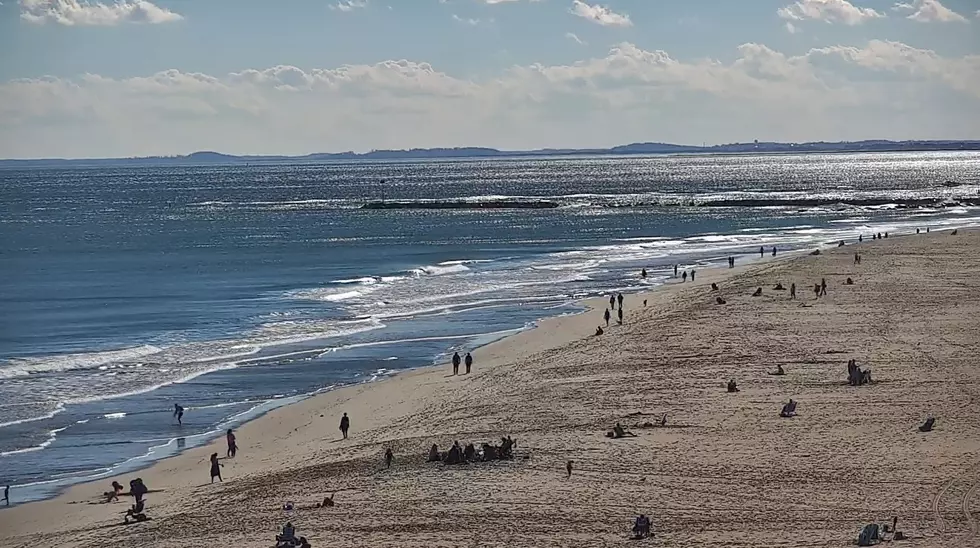
This year, high temperature records fell in Concord, New Hampshire, and Portland and Augusta in Maine. Temperatures at noon on Sunday were in the '70s, with no sign of any kind of wintry weather.
"The main cause of the really warm weather we experienced over the weekend was just due to a really strong ridge across the northeast. When we have higher heights in the upper levels, we tend to have higher temperatures," meteorologist John Palmer at the National Weather Service in Gray, Maine, told Seacoast Current.
The front will also bring gusty winds and lower humidity, creating an elevated fire weather danger into Tuesday.

Temperatures will begin to head to lower, more seasonable levels as a cold front passes across northern New England. Highs on Election Day will be in the upper '40s and lower '50s, but will head back up again to the mid '60s starting Wednesday, according to Palmer.
"The warmer temperatures at the end of this week won't be nearly as bad as the weekend," Palmer said. "The long term trend shows the ridge moving out of our area in the second half of November."
Palmer is also watching subtropical storm Nicole and her final track up the East Coast. Tropical moisture could impact portions of New England by the weekend.

Contact reporter Dan Alexander at Dan.Alexander@townsquaremedia.com or via Twitter @DanAlexanderNH
New England Patriots vs. Indianapolis Colts Week 9
Gallery Credit: Chris Sedenka
More From Seacoast Current