Henri Brings Fog to Seacoast in New Hampshire
The Seacoast can't quite shake the effects of Henri as the storm remains to continue to track to the east as summer heat sticks around until the weekend.
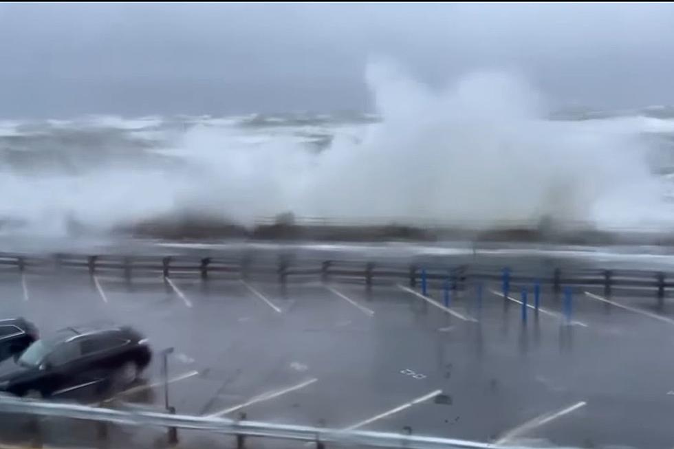
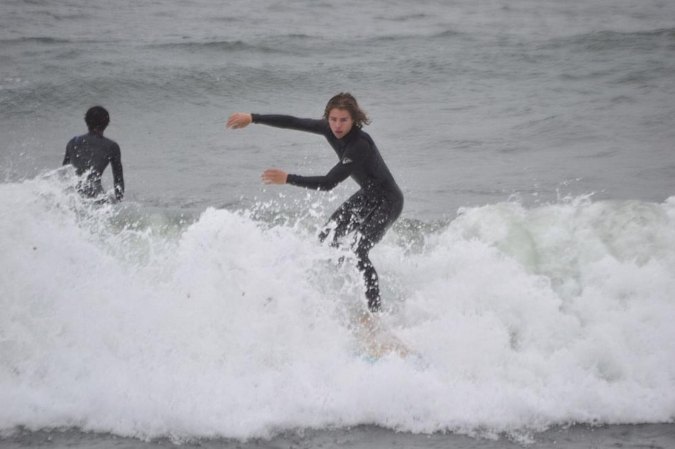
After showers on Tuesday morning, the ocean seas will still be a bit rough, according to National Weather Service Meteorologist Nikki Becker. Surfers will enjoy the storm's final impact on the Seacoast.
"It's pretty low, two to three feet, depending on the type of craft you have. Winds will be dying down. We have the northeast wind at 5-10 knots becoming southwest, Becker said.
The longest-lasting effect from Henri will be thick fog in the morning.
"The storm has moved offshore but we're still going to have a bit of an onshore flow with a lot of moisture. You'll have morning fog come right back in Tuesday night, and come back in Wednesday," Becker said.
As Henri moves even further away, a cold front will sweep through and the fog will no longer be a factor, according to Becker.
Until the cold front comes through on Friday temperatures will be in the 80s with the humidity raising the heat index into the 90s Tuesday, Wednesday and Thursday afternoons. Overnight lows will only be in the upper 60s.
The cold front will bring temperatures to the more comfortable 70s for the weekend.
Contact reporter Dan Alexander at Dan.Alexander@townsquaremedia.com or via Twitter @DanAlexanderNH
25 True Crime Locations: What Do They Look Like Today?
More From Seacoast Current


